Flood Warning Capacity Improvement for the Belize River Basin Project

Themes
-
 Environment
Sustainable Development Goals (SDGs)
 13.Climate Action
Project Name:Flood Warning Capacity Improvement for the Belize River Basin Project
Project status:Projects in Operation
Cooperating Country:Belize, Central America
Project Description:
The Flood Warning Capacity Improvement for the Belize River Basin (FWCIBRB) Project has been developed as an expansion to the Belize Urban Resilience and Disaster Prevention Project (BURDPP). Under the FWCIBRB, flood early warning systems developed for the San Ignacio area will be expanded upon. This is expected to assist the government of Belize with disaster management. Capacity building opportunities will be provided to enhance Belizean disaster prevention and relief departments’ technical capabilities.
Implementation Start Date:2022-12-01
Implementation End Date:2025-12-31
Project Objectives:
1. Updated disaster prevention maps.
2. Improve disaster preparation capabilities.
3. Introduce monitoring technologies.
4. Strengthen disaster response in flood-prone areas in the Belize River basin.
Executing Agency:
Taiwan Technical Mission in Belize; Belize Ministry of Sustainable Development, Climate Change and Disaster Risk Management; Belmopan City government; Belize City government; San Ignacio City government
Current Progress:
To the end of December 2023, this project has reached the following milestones:
1.Conducted disaster response rapid deployment team training in Taiwan for 5 Belizean participants, with invitations extended to Belize’s minister and deputy minister of sustainable development.
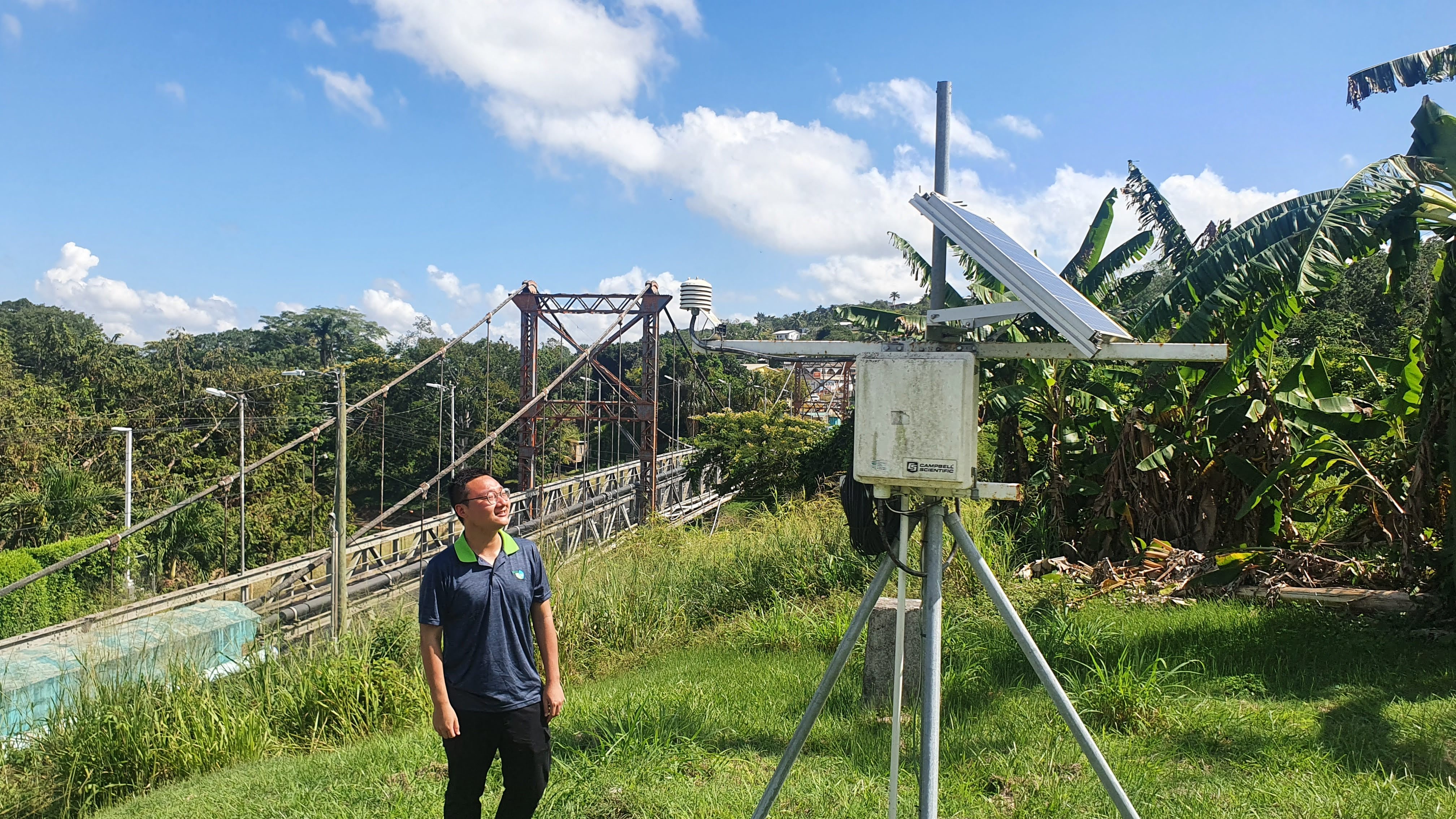
2.Established 3 hydrometeorological stations .
3.Identified and designated 1 location as a disaster demonstration community and performed urgent repairs on 1 emergency communication radio.
4.Updated digital elevation models for San Ignacio, Belmopan, and Belize City.
5.Completed foundational maps, including those with hydrological data, disaster prevention facilities, topography, satellite imagery, roads, and vital pipelines.
6.Generated flood susceptibility maps for Belmopan and Belize City using satellite imagery and hydrological data.
7.Conducted a disaster reconnaissance drone training course for staff from the Hydrological Bureau, Meteorological Bureau, NEMO, and a local fire department.
8.Organized 3 disaster education and awareness campaigns.
Project Contact:HO CHIA LING
Phone:+886-2-28886038
E-mail:c.li.ho@icdf.org.tw
- Update:2024-01-29
- Hits:1585