
News
TaiwanICDF to hold RS/GIS training in Nicaragua and Honduras for 2014 geographic information systems project in Central America
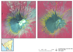
To enhance capacity within the field of geographic information systems (GIS) and remote sensing (RS) in Nicaragua and Honduras, the TaiwanICDF has been planning and hosting training programs in these two countries since 2009. From July 21 to August 8 this year, experts will be dispatched to each country to hold a further series of basic and advanced courses, which 80 participants are due to attend.
This year’s course in Nicaragua will focus on water quality analysis, change forecasting, debris flow modeling and change detection, while in Honduras the curriculum will emphasize satellite imaging techniques, image analytics and map production. It is hoped that upgrading professional technical capabilities in RS, GIS and satellite positioning systems among cooperating units in these two countries will strengthen environmental sustainability and environmental management systems within protected areas, raise national disaster prevention capacities, enhance national capacity to manage the quality of water in local lakes, and improve satellite image analysis and processing techniques.
Related Pictures
- Update: 2018/03/01
- Hits:708